Topographic maps of the early to mid-20th century
Other maps
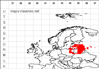
Maps of the Red Army 1: 200,000 (20-30s)Austrian topographic maps of the west of Ukraine from 1890 to 1910, 50 sheets
Polish topographic maps of the west of Ukraine and Belarus circa 1930, 227 sheets
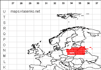
Polish topographic maps of Poland, western Ukraine and Belarus around 1927, 554 sheets
Post-war Polish maps 1: 500,000 (without index and bindings)
German of different years (without index and bindings), mainly Poland and the west of Ukraine
1870-1919 1: 300,0001919-1945 1: 300,000
1919-1945 1: 100,000
1919-1945 1: 100,000
1941 1: 100,000
American maps of Eastern Europe, 1: 250,000, around 1950, based on captured Soviet.
Historical maps of Ukraine and individual cities
Map of Ukraine 1650 ("Map of Boplan") , description of it"Map of Boplan" with the modern boundaries of the regions of Galicia and Bukovina in 1919 1: 2,000,000
Galicia and Bukovina (mountains and rivers) 1919 1: 2000000
The plan of Lviv in 1890 1: 7200
The map of Volhynia in 1929 1: 1500000
Archaeological map of Volhynia Antonovich
Archaeological map of Podolia Setsinsky
Boplanovskaya map of Kiev
Boplanovskaya map of Podillya
Boplanovskaya map of Podillya
Map of pre-war Poland (with western regions of Ukraine)
Map of Europe in 1700
Map of medieval Europe
Old maps (plans) of Kiev from different sources.
The plan of the city of Kiev in 1700The city plan of Kiev is supposedly around 1850
The plan of the city of Kiev in 1902
The city plan of Kiev is supposedly around 1890
The plan of the city of Kiev in 1911
The plan of the city of Kiev in 1913
The plan of the city of Kiev in 1918
The plan of the city of Kiev in 1929
City plan of Kiev in 1947

Comments
Commenting on, remember that the content and tone of your message can hurt the feelings of real people, show respect and tolerance to your interlocutors even if you do not share their opinion, your behavior in the conditions of freedom of expression and anonymity provided by the Internet, changes Not only virtual, but also the real world. All comments are hidden from the index, spam is controlled.